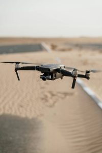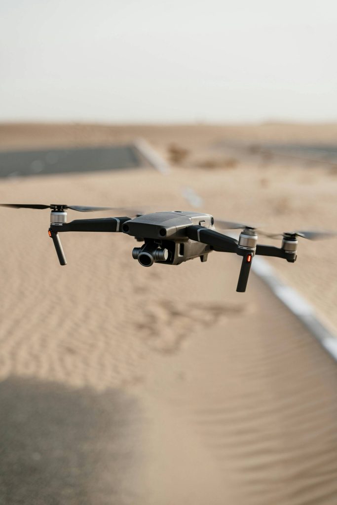
Flight control technology: This is the core technology of stable flight of drones. Including attitude control, navigation control, etc., through advanced algorithms and sensor fusion, the UAV can accurately fly according to the preset route, maintain a stable attitude, and cope with a variety of complex flight conditions and environmental interference. For example, in UAV mapping and 3D modeling, flight control technology is needed to ensure that the UAV can fly stably under different terrain and meteorological conditions to obtain high-quality mapping data.
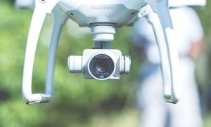
Sensor technology: Various sensors provide sensing capabilities for drones. For example, the Global Positioning System (GPS) is used to determine location and navigation; The Inertial Measurement Unit (IMU) measures the acceleration and angular velocity of the UAV and AIDS attitude control. LiDAR can be used for terrain mapping and obstacle detection; Cameras (visible light, infrared, multi-spectrum, etc.) are used to obtain image and video information, achieve target recognition, environmental monitoring and other functions. In the UAV agricultural plant protection, the multi-spectral camera, as a sensor, can help identify the growth conditions of crops and diseases and pests, and provide a basis for precise drug application.
Communication technology: to achieve data transmission and command interaction between UAV and ground control station and other equipment. Including wireless local area network (Wi-Fi), Bluetooth, 4G/5G and other communication methods to ensure real-time, stable, high-speed data transmission, enabling operators to remotely control the drone, and access to images, video and sensor data collected by the drone. For UAV logistics distribution, reliable communication technology is the key to ensure the UAV to fly according to the predetermined route, real-time feedback of the distribution status and information interaction with the logistics system.
Data processing and analysis technology: A large amount of data collected by drones, such as images, videos, sensor data, etc., need to be processed and mined through data processing and analysis technology. Including image recognition, target detection, data analysis modeling, etc., to extract valuable information to support decision making and application of UAVs. In UAV search and rescue, the trapped people can be found quickly and accurately by analyzing and processing the image data collected by thermal imager and camera.
Battery and Energy technology: High-performance battery and energy management systems are key to drone endurance. It is necessary to develop batteries with higher energy density, as well as optimize energy management strategies, improve energy efficiency, and extend the flight time of drones. The development of battery and energy technology is crucial for some UAV applications that require long flight, such as UAV mapping and monitoring.
Mechanical design and manufacturing technology: involves the design of the fuselage structure, material selection and manufacturing process of the UAV to ensure good aerodynamic performance, strength and stability, while reducing weight and improving load capacity. For example, the use of lightweight carbon fiber materials to manufacture the fuselage of drones, while ensuring structural strength and reducing its own weight, so that drones can carry more equipment or supplies to meet the needs of different application scenarios.
Artificial intelligence and machine learning technology: applied to autonomous decision-making, target recognition, path planning and other aspects of UAV. Through machine learning algorithms, drones can learn and adapt to different environments and tasks to achieve intelligent flight and operation. For example, when carrying out logistics distribution tasks, drones can independently plan the optimal flight path according to real-time traffic information and weather conditions by using artificial intelligence algorithms to avoid obstacles and no-fly areas.