Efficiently collect data, reduce field costs, and provide high-precision two-dimensional and three-dimensional models to effectively assist in exploration and design.
1. Business challenges
Low collection efficiency leads to an extended project cycle, making it difficult to meet the demand for timely delivery
The fieldwork volume is large, and the investment costs of personnel, time and equipment are high
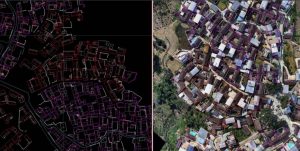
The surveying and mapping results are limited to digital line drawings and cannot provide a visual model
2. Advantages of drones
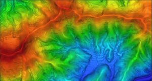
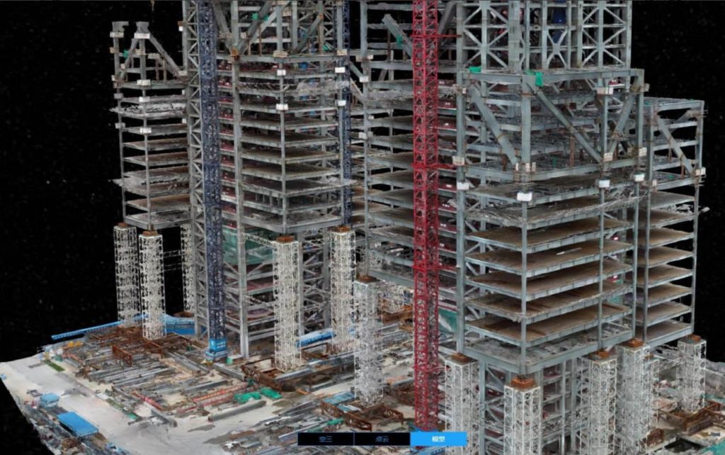
Quickly build 2D and 3D models and provide rich geographic information references
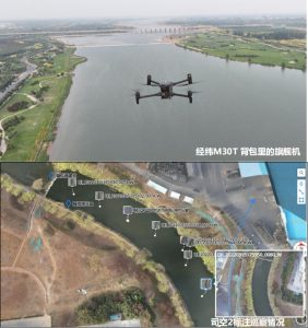
Unmanned aerial vehicles (UAVs) are easy and convenient to operate, with a high degree of automation, significantly enhancing mapping efficiency and reducing field costs
The design drawings can be superimposed with 2D and 3D models to visually display the design effect
3. Recommend a combination of solutions
• Jingwei M350 RTK + DJI L1 / DJI P1 / Third-party five-eye camera + DJI Smart Map
• Phantom 4 RTK + DJI Smart Map